Waterfront
About €10,000/m²The sea in perspective: islands, beaches and coastal addresses. The price level depends on the residence and the view; this threshold is not the average of all coastal properties.
 SAKHO
SAKHOAn overview to understand the city. Then a zoom into the neighbourhoods shaping tomorrow — their access, amenities and the reality of their surroundings.
A map to explore, not an official zoning map or a property valuation.
The three zones group families of neighbourhoods, not administrative boundaries. Sheikh Zayed Road and Al Khail Road are reference points, not price borders.
The sea in perspective: islands, beaches and coastal addresses. The price level depends on the residence and the view; this threshold is not the average of all coastal properties.
The business center, Downtown, Business Bay and the new Creek Harbour promenades. The Creek and the canal are not seafront beaches.
Communities, schools and parks sit alongside developing neighborhoods and projects. Dubai Hills and JVC are near Al Khail, not all located “beyond” that axis.
The ranges above are the search landmarks proposed in the brief, not transaction averages nor prices applicable to each property. Verifiable neighborhood indicators appear in the sheets below.
Move the map, zoom in and choose an area. The second view opens at the neighborhood scale.
Loading mapping traces…
The map could not be loaded. The district fact sheets remain accessible below.
Choose an axis or metro line: its context, status and a clearly identified photograph appear here. Routes are also readable on the map.
Major north–south corridor of Dubai. The displayed route comes from OpenStreetMap; the photograph is a contextual view of Downtown, not an image of the entire E11.
Inner axis connecting several residential and business areas. The photo illustrates the selected neighborhood, not this road along its entire length.
Bypass axis serving areas farther from the coastline. OSM routing verifiable; contextual image of the selected neighborhood.
Major UAE ring artery, useful for locating developing areas. The map shows its OSM route, without promising travel times.
Major inland thoroughfare, traced from OSM. Any pictured shot shows a nearby chosen neighborhood, not necessarily the carriageway.
Existing metro line, shown between geolocated stations. The photographed train belongs to the Dubai Metro, without identifying the exact station or segment.
Existing metro line, shown between geolocated stations. The photograph illustrates the Dubai network, not a specific car or station identified on the Green Line.
Corridor projected by the RTA with announced opening in 2029, subject to change. The photo is of a neighborhood, not of a line or station already open.
Check source of axis or line ↗E11 — Sheikh Zayed Road · E44 — Al Khail Road · E311 — Sheikh Mohammed Bin Zayed Road · E611 — Emirates Road · E66 — Dubai–Al Ain Road. Red and Green Lines schematically connected between OSM stations; Blue Line dashed: indicative corridor announced by the RTA, not operational (opening scheduled 2029). International City 3, announced by the RTA but without a verified position in the OSM extract, is not placed on this diagram. OSM/HDX base and Natural Earth coastline.
Schools, health, retail and leisure recorded around the landmark point: places to verify on site, not promised travel times.
Loading proximity map…
The neighborhood map could not be loaded. Amenities and sources remain described in the fact sheets.
Place listed in OpenStreetMap: confirm that it is operating, its access and opening hours directly with the establishment.
Check this place on OpenStreetMap ↗Indicative radius around a representative point, straight-line distance. The presence, access and opening hours of a facility must be verified directly; collaborative OSM data are not exhaustive.
An iconic island, between residences, hospitality, beach and promenades.
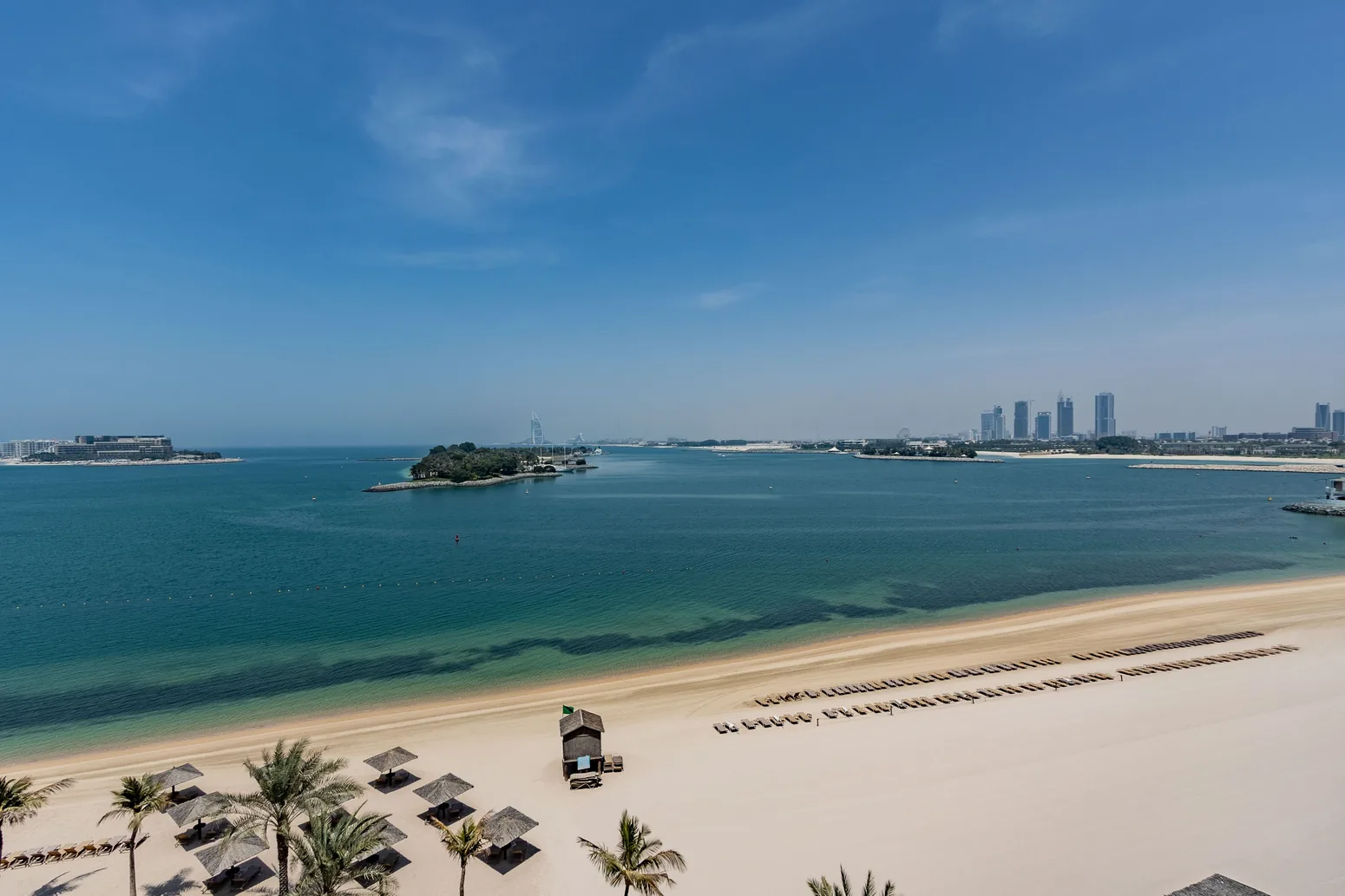
Explore the neighbourhood landmarks. A photo of an establishment is shown as such only when its source identifies that place specifically. Opening times and access should be confirmed.
This image represents the selected place. Check the facility’s source to prepare a visit.
Image of the area or a neighbouring place, not a photograph of this establishment. Its location and opening times should be checked with the source.
See source of place ↗On the sea, west of Sheikh Zayed Road. The central landmark is Palm Jumeirah Mall and not the footprint of all properties. The Palm Monorail is not an RTA metro line: check its operating status with the operator before travelling.
No comparable price-per-m² indicator was verified for this area. The zone range above is a research benchmark, not a local valuation.
An urban address by the sea, from the Marina promenade to JBR beach.
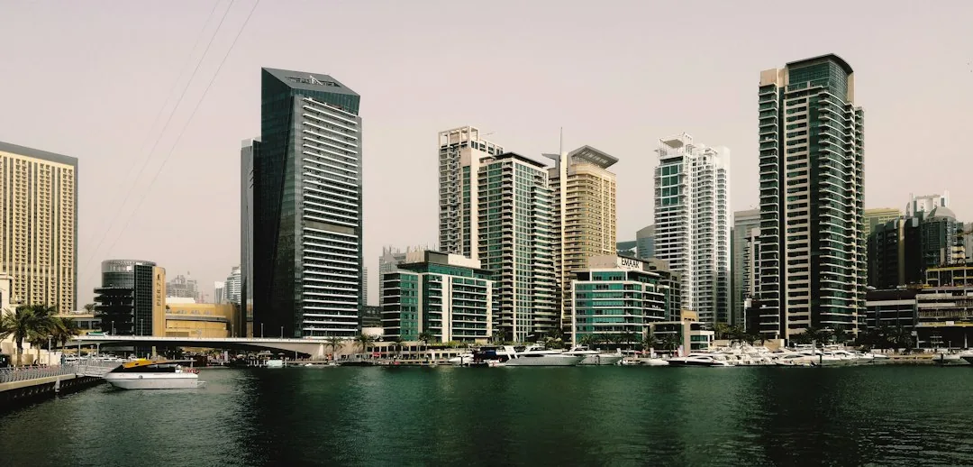
Explore the neighbourhood landmarks. A photo of an establishment is shown as such only when its source identifies that place specifically. Opening times and access should be confirmed.
This image represents the selected place. Check the facility’s source to prepare a visit.
Image of the area or a neighbouring place, not a photograph of this establishment. Its location and opening times should be checked with the source.
See source of place ↗Three distinct subsectors: Marina, JBR and Bluewaters Island. The map point is located at JBR. The Red Line DMCC/Sobha Realty stations and Dubai Tram stops are not in the same place.
Index of apartments listed. Dubai Marina only: apartments, not JBR/Bluewaters nor villas. Period: September 2026. EUR conversion is illustrative, without exchange fees, and is not a Sakho selling price.
See the Bayut indicator ↗An established residential waterfront, villas, retail and lifestyle venues.
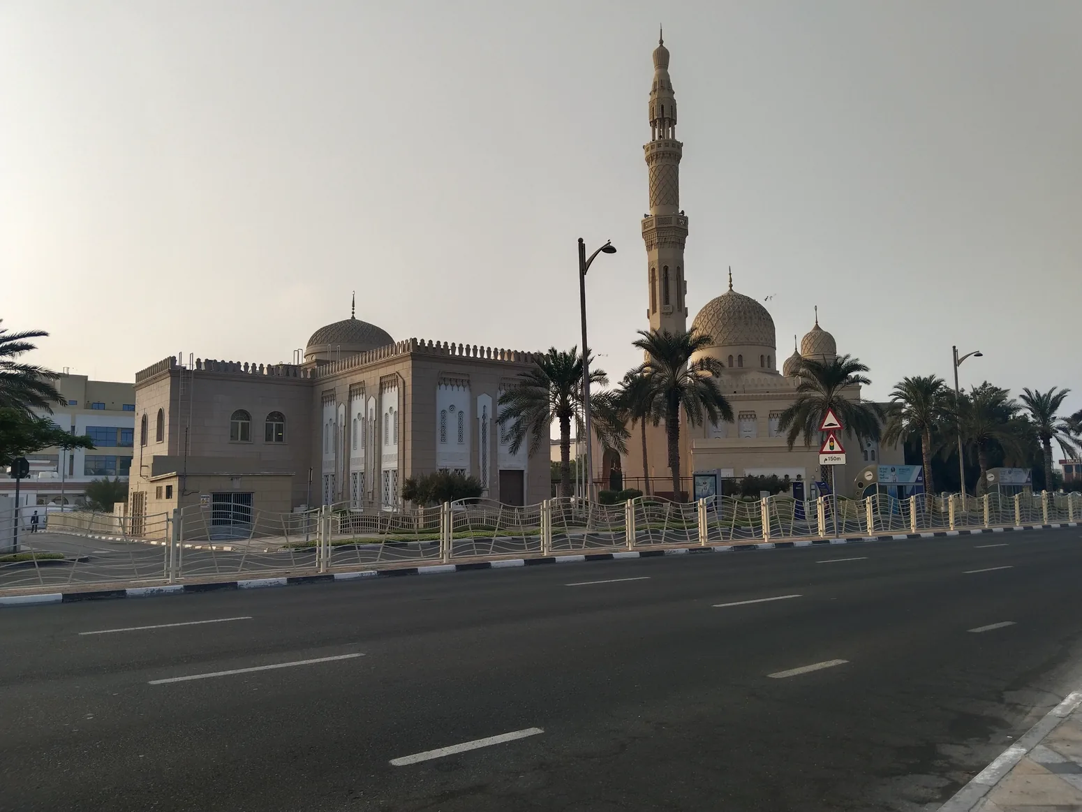
Explore the neighbourhood landmarks. A photo of an establishment is shown as such only when its source identifies that place specifically. Opening times and access should be confirmed.
This image represents the selected place. Check the facility’s source to prepare a visit.
Image of the area or a neighbouring place, not a photograph of this establishment. Its location and opening times should be checked with the source.
See source of place ↗The Jumeirah 1 to 3 neighborhoods are not a homogeneous price band. Sheikh Zayed Road lies inland and no metro directly serves the coast in this area.
No comparable price-per-m² indicator was verified for this area. The zone range above is a research benchmark, not a local valuation.
The heart of the skyline, around the Burj Khalifa and Dubai Mall.
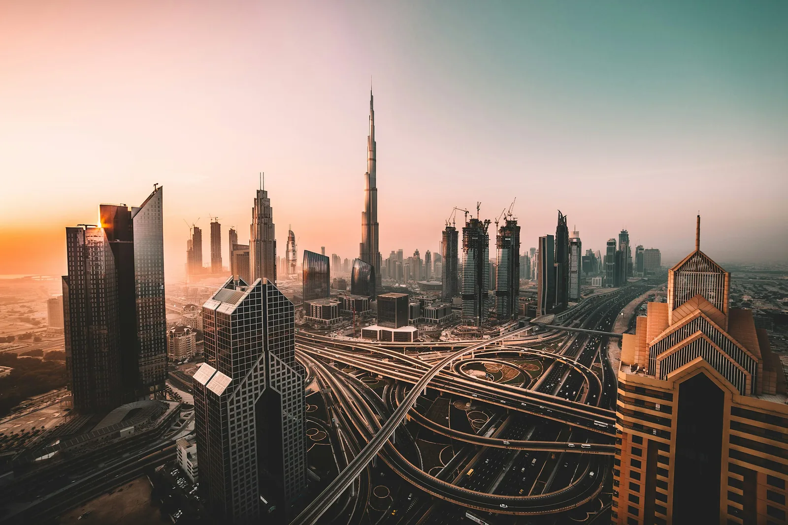
Explore the neighbourhood landmarks. A photo of an establishment is shown as such only when its source identifies that place specifically. Opening times and access should be confirmed.
This image represents the selected place. Check the facility’s source to prepare a visit.
Image of the area or a neighbouring place, not a photograph of this establishment. Its location and opening times should be checked with the source.
See source of place ↗Inner neighborhood, not coastal. The Dubai Fountain basin is an artificial body of water and not a beach. Burj Khalifa/Dubai Mall station serves the area on the Red Line.
Index of apartments listed. Downtown Dubai: apartments for sale, not an average of transactions. Period: September 2026. EUR conversion is illustrative, without exchange fees, and is not a Sakho selling price.
See the Bayut indicator ↗Live and work along the Dubai Water Canal, within walking distance of Downtown.
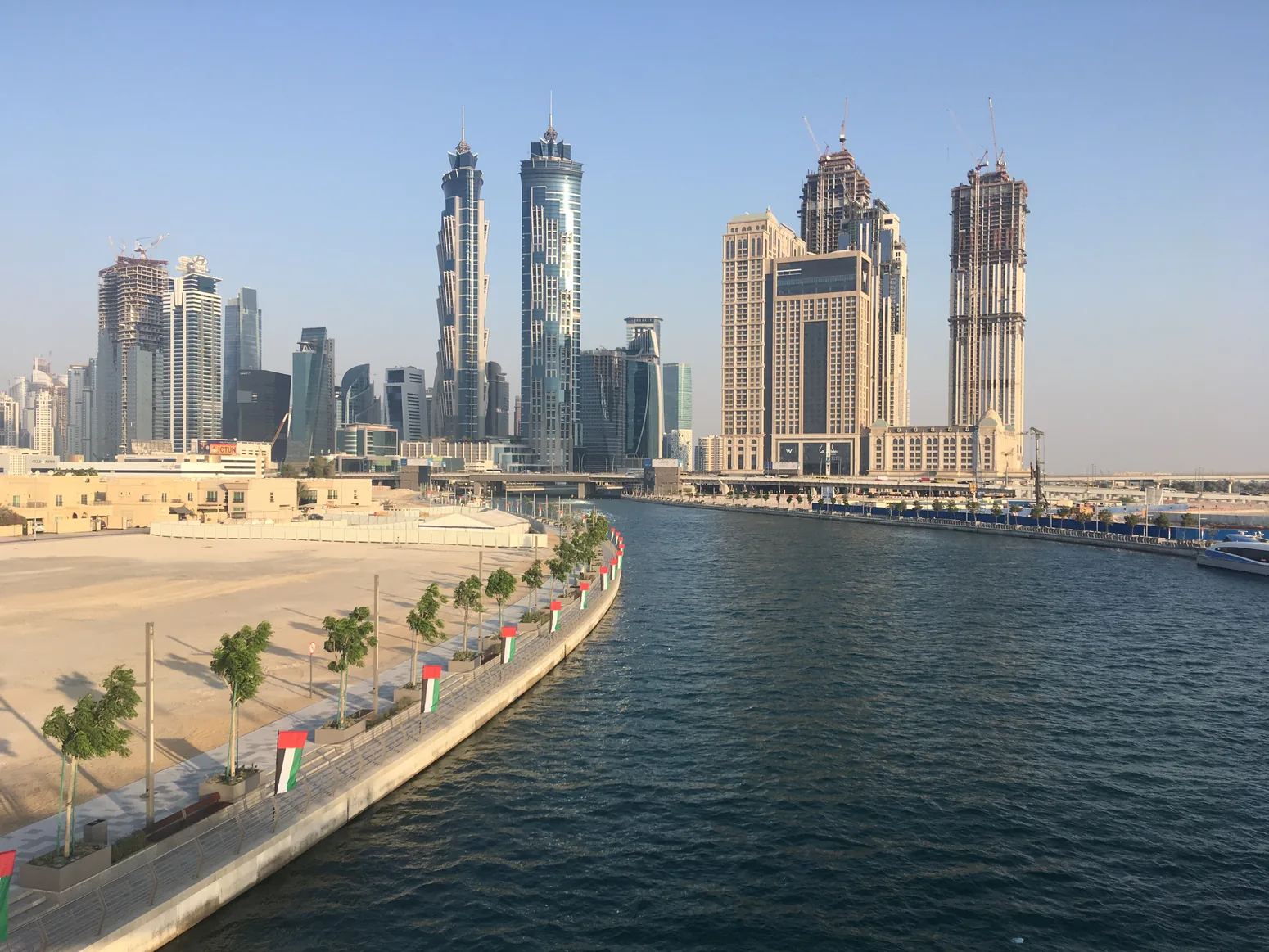
Explore the neighbourhood landmarks. A photo of an establishment is shown as such only when its source identifies that place specifically. Opening times and access should be confirmed.
This image represents the selected place. Check the facility’s source to prepare a visit.
Image of the area or a neighbouring place, not a photograph of this establishment. Its location and opening times should be checked with the source.
See source of place ↗Business Bay is between Sheikh Zayed Road and Al Khail Road. Its waterfront is that of a canal, not a sea beach. Without a usable homogeneous public indicator, no local average price is provided.
No comparable price-per-m² indicator was verified for this area. The zone range above is a research benchmark, not a local valuation.
A new centrality developing on the banks of Dubai Creek.
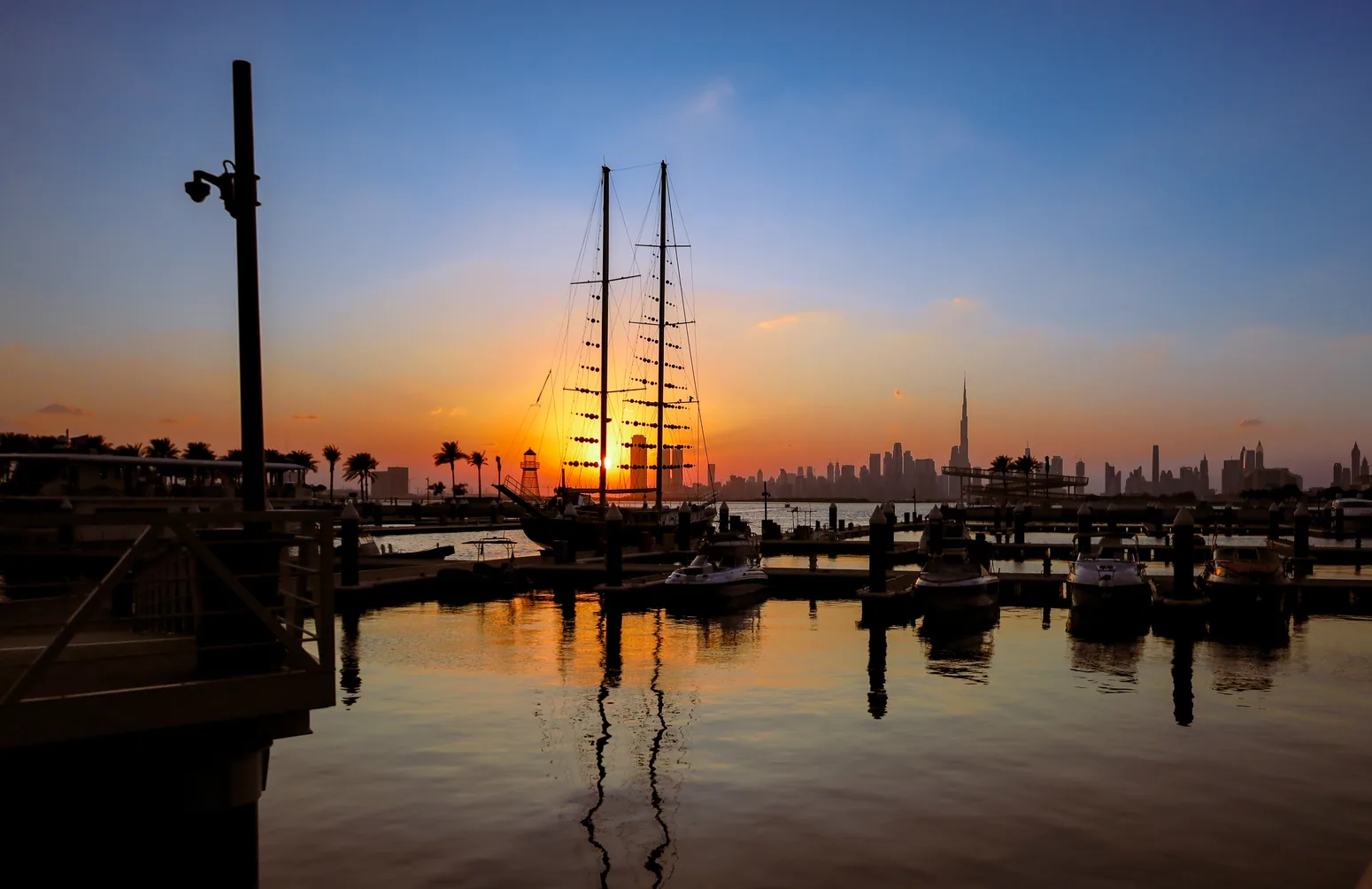
Explore the neighbourhood landmarks. A photo of an establishment is shown as such only when its source identifies that place specifically. Opening times and access should be confirmed.
This image represents the selected place. Check the facility’s source to prepare a visit.
Image of the area or a neighbouring place, not a photograph of this establishment. Its location and opening times should be checked with the source.
See source of place ↗The neighborhood borders the Creek, not the Gulf beach. Creek Beach is a developed beach within the community. The planned RTA Blue Line is intended to serve it; the station is not open.
Apartment transactions. Dubai Creek Harbour: apartment sales aggregated via Bayut/TruView (cleaned DLD data). Period: 12 rolling months to 3 October 2026. The EUR conversion is illustrative, excludes exchange fees, and is not a Sakho sale price.
See the Bayut indicator ↗A masterplanned community where residential neighbourhoods meet parks, golf and retail.
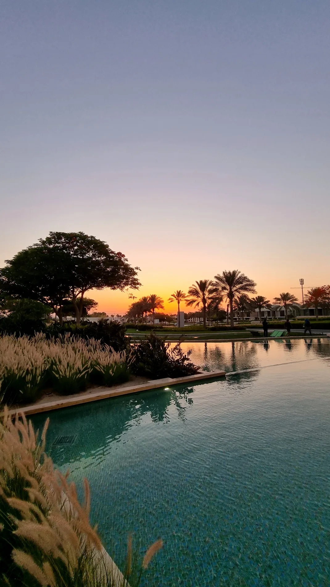
Explore the neighbourhood landmarks. A photo of an establishment is shown as such only when its source identifies that place specifically. Opening times and access should be confirmed.
This image represents the selected place. Check the facility’s source to prepare a visit.
Image of the area or a neighbouring place, not a photograph of this establishment. Its location and opening times should be checked with the source.
See source of place ↗Inland, near the Al Khail Road axis, not systematically beyond it. The landmark point is Dubai Hills Mall. No metro is confirmed within the community.
Apartment transactions. Dubai Hills Estate: sold apartments only, Bayut/TruView from DLD. Period: 12 rolling months to 3 October 2026. The EUR conversion is illustrative, excludes exchange fees, and is not a Sakho sale price.
See the Bayut indicator ↗Residential complexes in MBR City, near Al Khail and Ras Al Khor accesses.
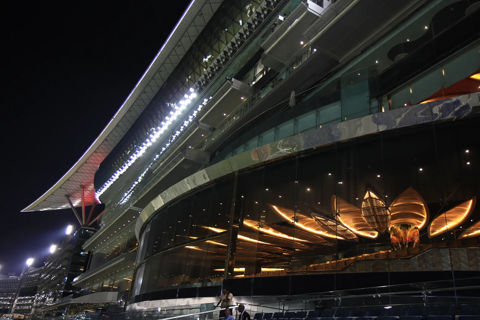
Explore the neighbourhood landmarks. A photo of an establishment is shown as such only when its source identifies that place specifically. Opening times and access should be confirmed.
This image represents the selected place. Check the facility’s source to prepare a visit.
Image of the area or a neighbouring place, not a photograph of this establishment. Its location and opening times should be checked with the source.
See source of place ↗Inland, this community has no sea beach nor a confirmed on-site metro station. Water bodies or the nearby Creek are not a maritime waterfront.
Apartment transactions. Sobha Hartland only: sold apartments, not all of Meydan nor all villas. Period: 12 rolling months to 3 October 2026. The EUR conversion is illustrative, excludes exchange fees, and is not a Sakho sale price.
See the Bayut indicator ↗An active residential area, close to schools, retail and leisure spaces.
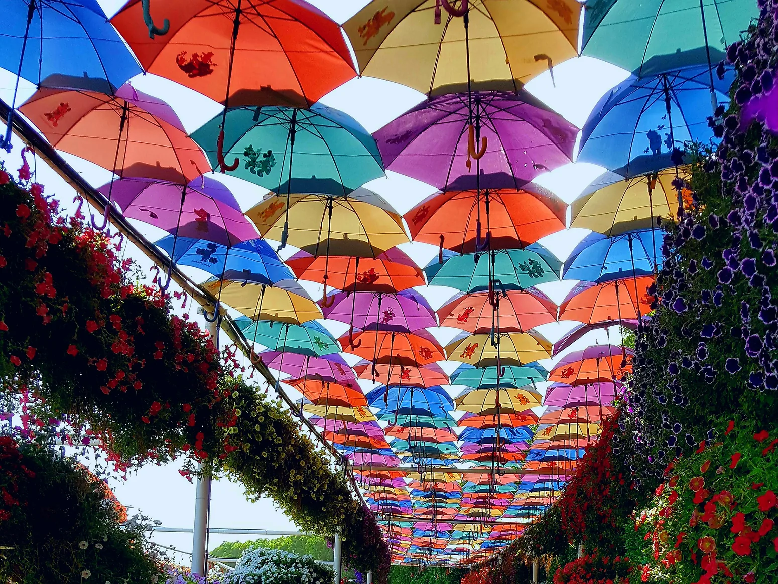
Explore the neighbourhood landmarks. A photo of an establishment is shown as such only when its source identifies that place specifically. Opening times and access should be confirmed.
This image represents the selected place. Check the facility’s source to prepare a visit.
Image of the area or a neighbouring place, not a photograph of this establishment. Its location and opening times should be checked with the source.
See source of place ↗JVC and Arjan are two distinct districts, grouped here to navigate the residential southwest; the marker is positioned on the JVC side. They are not all "beyond" Al Khail Road.
Apartment transactions. JVC only: apartment transactions, not transferable to Arjan. Period: 12 rolling months to 3 October 2026. The EUR conversion is illustrative, excludes exchange fees, and is not a Sakho sale price.
See the Bayut indicator ↗A southern urban hub under development, around Expo City and the new corridors.
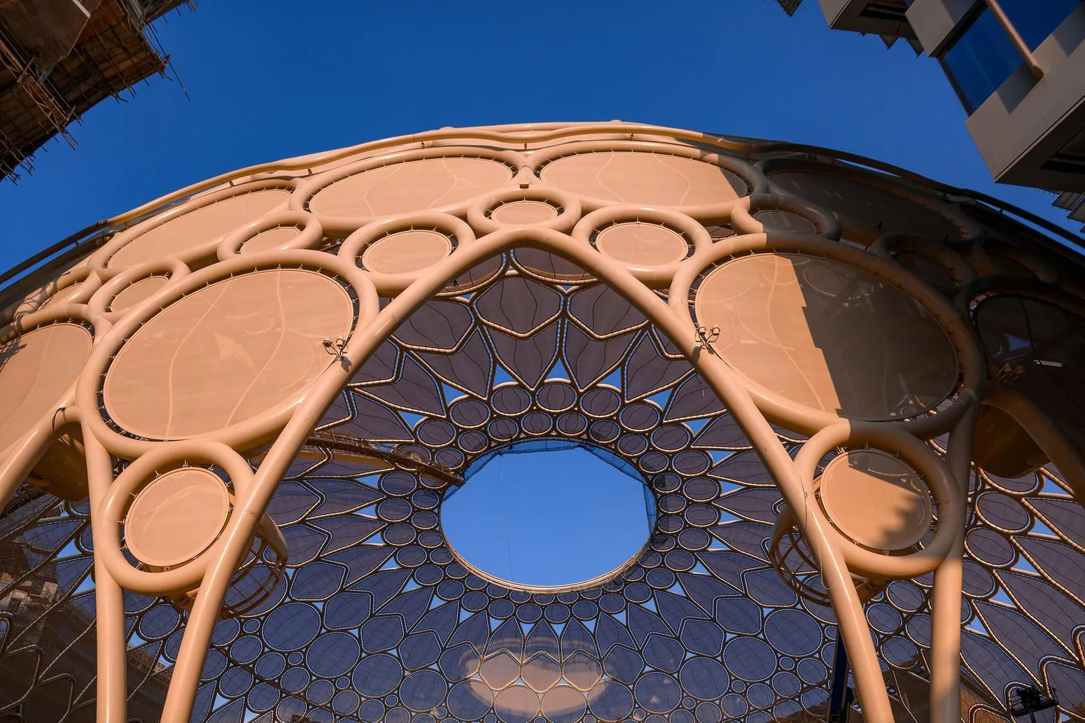
Explore the neighbourhood landmarks. A photo of an establishment is shown as such only when its source identifies that place specifically. Opening times and access should be confirmed.
This image represents the selected place. Check the facility’s source to prepare a visit.
Image of the area or a neighbouring place, not a photograph of this establishment. Its location and opening times should be checked with the source.
See source of place ↗Far from the central urban coastline: do not present 15–35 minutes to the Marina or the beach as a verified duration. Expo City and Dubai South are neighbouring areas with distinct developments.
No comparable price-per-m² indicator was verified for this area. The zone range above is a research benchmark, not a local valuation.
Waterfront, premium core and residential are three ways to explore places, not three regulatory polygons. Palm is an island, Creek Harbour a Creek neighbourhood; Dubai Hills and JVC are not entirely beyond Al Khail Road.
The three orders of magnitude in euros come from the brief. The detailed figures are distinct: indices of apartments listed or apartment sales in the cited neighborhood, in AED per square foot. Conversion by 10.7639104 ft²/m² with 1 € = 1.1225 USD (ECB, 2 October 2026) and 1 USD ≈ 3.6725 AED (CBUAE). The data are not a promise of price.
The Red/Green lines connect geolocated stations; the Blue Line is planned, announced by the RTA for September 2029, subject to change. The 5–10 and 15–35 minute markers depend on the address, the chosen beach or center, the route and traffic: they are not guaranteed durations.